Exploring (a small part of) Italy's Gargano Peninsular by foot

For our first trip abroad since the pandemic - I know, how did we manage to leave it so long?! - we spent 8 nights exploring Italy’s Gargano Peninsular, a relatively unknown part of Italy for many in the UK. We booked an self-guided walking holiday with Inntravel, who we’ve used before for both walking and cycling holidays, all of which we’ve enjoyed. They aren’t budget holidays by any means, and it’s not a carry your bags while you walk type of holiday either. The accommodation, transfers and walks (and walking notes) are tried and tested and therefore you can be pretty certain of what you’ll get. We’ve had some great holidays, and I in particular like to walk their ‘new routes’ - and this was one of those.

In this post my plan is to share an overview of a trip where we saw and experienced so much, but it will only be the tip of the iceberg. Over the next few weeks (and realistically months!) I’ll share more about the walks, the scenery and more and I’ll aim to link to them from here as I go.

Where is the Gargano Peninsular?

The easiest way to describe its location is as the spur to Italy’s heel - and as we discovered it’s an area that is both remote yet has vibrant towns, is full of stunning views and there’s plenty of wildlife to admire too (though I exclude the guard dogs on the walk as we left Monte Sant’Angelo here - they were high up above us, behind a tall wire fence and yet we still crossed the road to avoid being directly in the eyeline!)

Where did we walk?

The walks were a mixture of circular routes which gave a flavour of the town we stayed in and ‘moving on’ walks, where we walked to the next hotel. Our bags were transferred by taxi throughout the holiday, and on a couple of occasions we were dropped further along, so saving even more walking.

In total we walked about 57 miles during our trip, and this was the planned walks as well as one walk into the town in Mattinata, our final destination. The longest walk was about 10.5 miles, which is completely doable, especially as you have all day to do it.

So what about the holiday?

MOH isn’t much of a sit in the sun holidayer, and while he has done that - we’ve been to Barbados, we much prefer to be out and about doing and seeing things if we can.

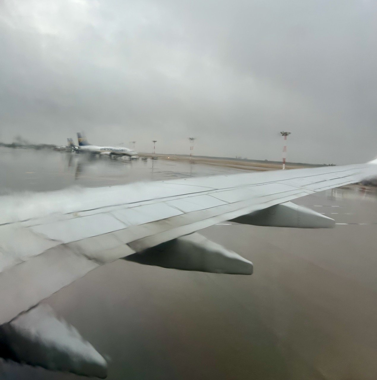
That said, in Italy we were expecting temperatures warmer than the UK, and so when we landed at Bari airport we weren’t quite expecting this. Thankfully though, despite a few heavy downpours, the weather was mostly good and warm and sunny. Definitely warm enough for the Factor 50 we’d brought along with us.

A grey wet landing at Bari airport from the window of our plane

Arriving in Vieste

We arrived at our hotel in the rain and hungry! Our first mission once the bags were in the room was to find food, and well, when in Rome - or rather Vieste, it was pizza that was on our minds.

The sofas in the hotel lobby with a large lobster design on its back

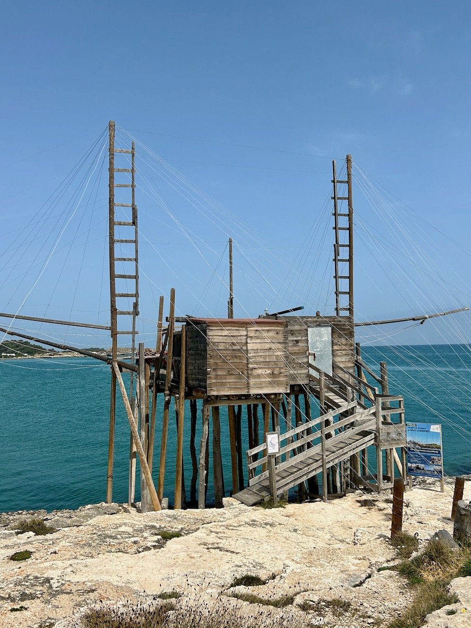
It was only the next morning as we headed out for our first walk along the coast that I really noticed the hotel’s decor, and quickly fell in love with these lobster sofas. Our walk took us out of Vieste and to a series of coastal headlands where we could marvel at the Trabucchi or ancient fishing traps.

Moving into the Foresta Umbra

Unbelievably I’d managed to turn my ankle at the airport on Saturday - walking in normal shoes, on flat ground. This wasn’t ideal timing. Thinking it would ‘walk off’ I didn’t think anything more of it but it was a bit more tender than I hoped it would be. Sleeping on it, it wasn’t any better, and so before we left Vieste I headed into the local pharmacy for an ankle support. Only me!

Our next walk was a ‘moving on’ walk, and we were dropped off by the taxi at a remote path leading into the forest, and with an almost 10.5 mile walk ahead of us that ankle support earned its keep. Walking into the forest and heading towards its centre was amazing; so peaceful but full of nature, calming yet exhilarating.

We made it to our next hotel and over the next couple of nights had food that wouldn’t look out of place in the highest rated restaurants - it was simply stunning. The hotel didn’t appear to have that many guests either, and this made it even more special - I’m sure that once the season really gets going it is likely to have a buzz of energy and vibrancy, but the relaxed atmosphere worked well for us.

In the heart of the Foresta Umbra

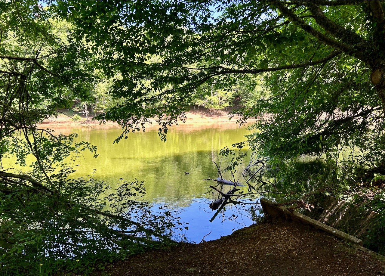
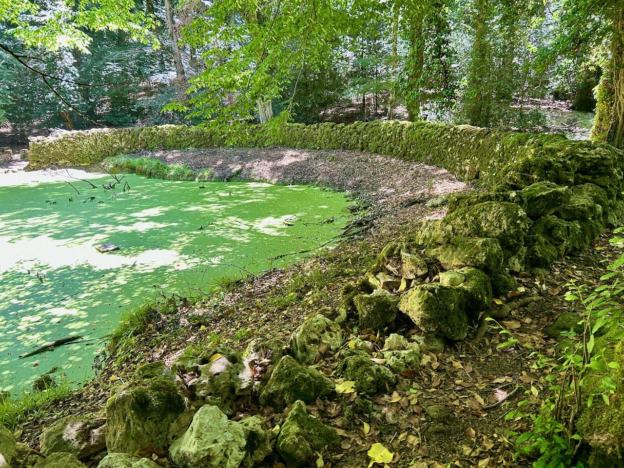
The next morning our planned walk was to take in more of the forest, and my ankle wasn’t so sure. The first 30 minutes or so of our walk were touch and go, but thankfully it warmed up and we notched up another 10 miler - this walk was probably the one I enjoyed the most and while we thankfully didn’t see any of the wildlife - roe deer, boar or foxes - it was great to walk the web of trails, and it seems seek out its lake and temporary waterhole.

Looking through the trees to the lake - laghetto umbra

LAGHETTO D’UMBRA

CUTINO D’OTRI

On the Pilgrim Trail to Monte Sant’Angelo

After a day exploring the forest, it was time to move on again. Once again we were dropped by taxi at the start of the path, with a 6 miler ahead of us. From the walk information we knew this would be a lot of downhill, with even more uphill as the village was Gargano’s highest.

And boy, there was a lot of up!

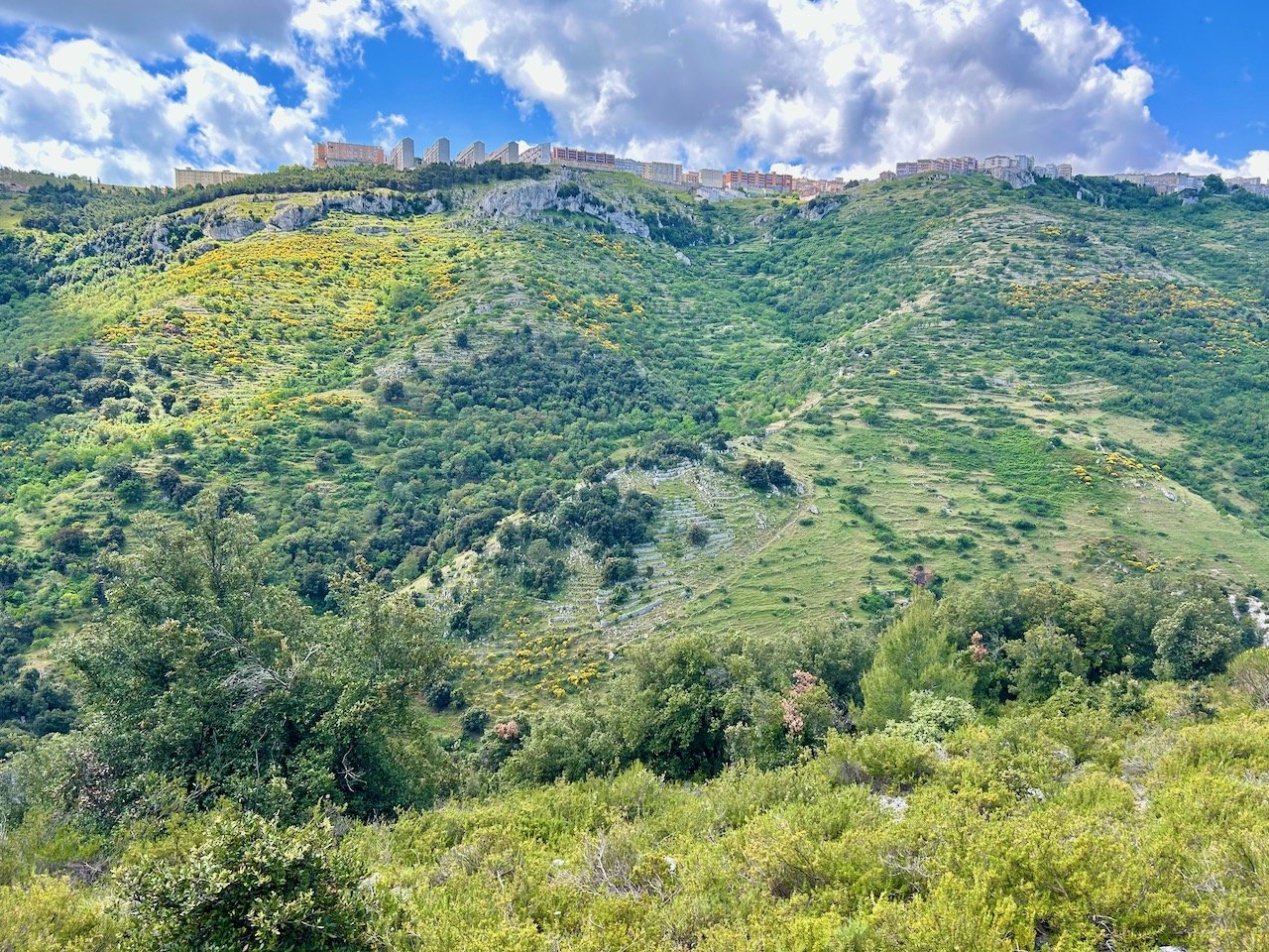
Looking up from the bottom of the valley to Monte Sant'Angelo - Gargano's highest village

LOOKING UP TO MONTE SANT’ANGELO

I took this photo from almost the bottom of the valley, and I wasn’t looking forward to the ascent. We made it though, not after some moaning from me I’m sure - thankfully the flora on this walk was mesmerising and I stopped many, many times to take goodness knows how many pictures along the way.

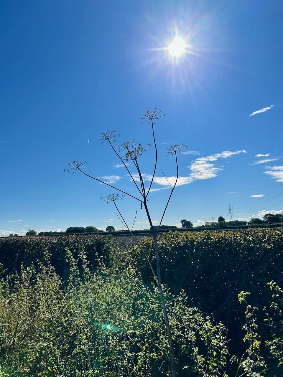
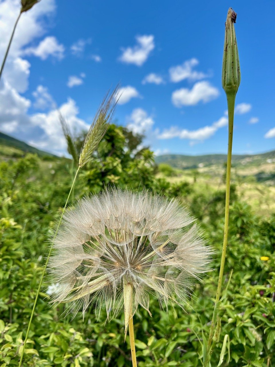
A giant fluffy seedhead with the blue skies beyond

And thankfully the views were pretty stunning too, but there was still a lot of up!!

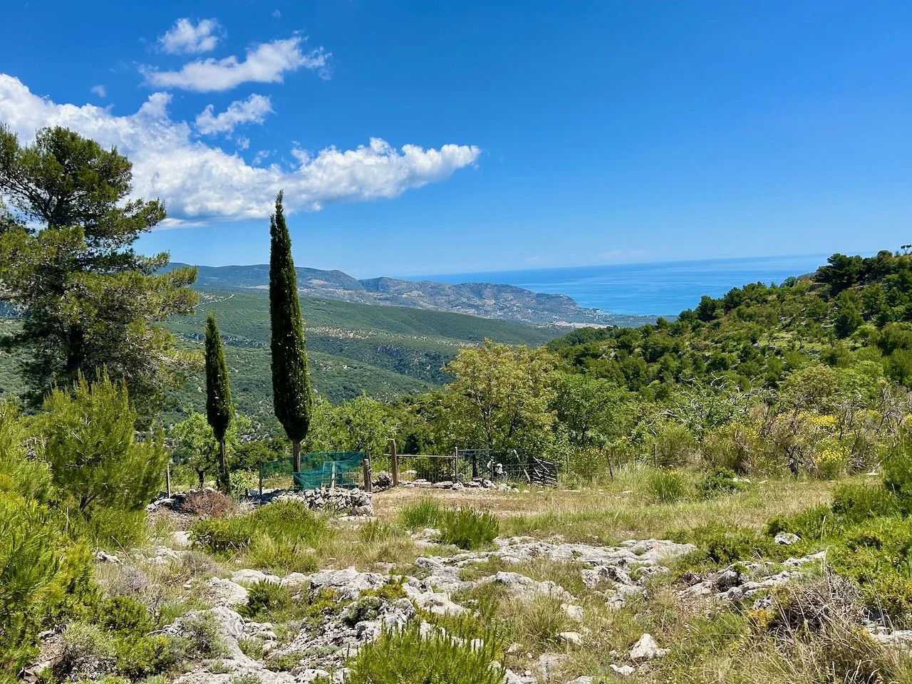
Looking towards the coast with a blue sky and clouds above the yellow flowering broom bushes
Heading up the rocky gravel path edged with wooden ballustrades

Did I mention there was a lot of up?!

As well as being Gargano’s highest village Monte Sant’Angelo is also famous for its cave church built into the rock - so when we had done all the up, we went down 86 steps to see this UNESCO World Heritage site. It was worth it though, as we headed out to find our hotel, we realised there was more up though at a much gentler incline.

Down to the coast at Mattinata

One thing we were pretty certain of though was that our walk to the last hotel at Mattinata would be mostly downhill - as there was nowhere else to go up! And we were mostly right for the 10 miler ahead of us, where we spent a lot of the day cutting the corners off hairpin bends and then following an old mule track.

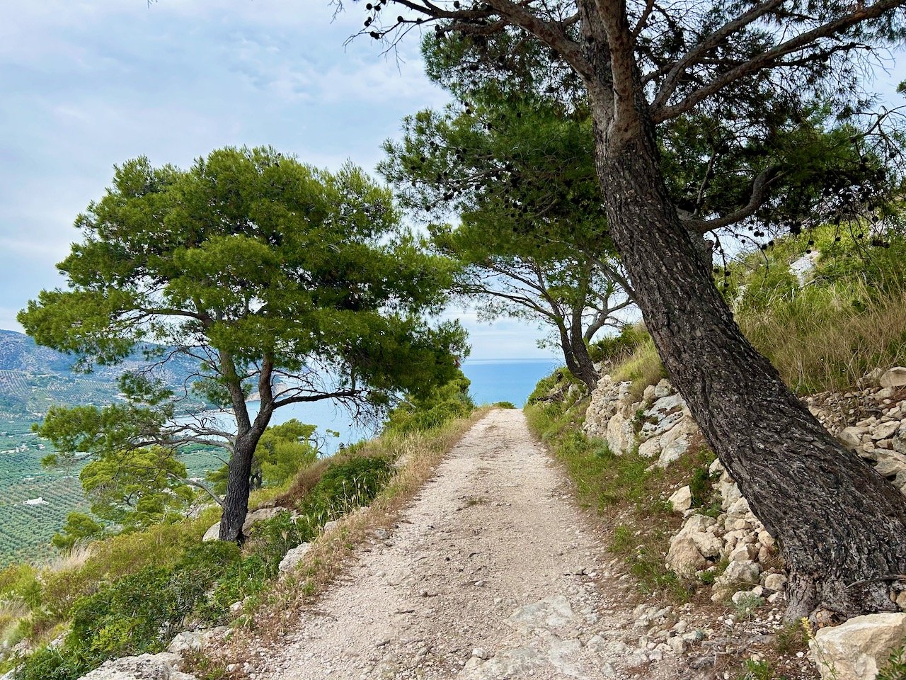
Looking across the rocky mule track down to the coast

As we approached Mattinata, and the ground levelled out, the scenery changed and we walked through many olive groves, one literally as an approved cut off for a corner. We’ve seen olive trees before, but many of these looked especially gnarly and characterful - expect to see more photos like this.

The beach was a welcome sight, though we were less pleased that walking across the pebbles was part of the route to the hotel. Our plan was to stop and get refreshments at one of the beach bars before heading uphill to the hotel.

Emerging from the path to the pebble beach at Mattinata

After being completely ignored for a good twenty minutes at one beach bar we moved to another necked a beer, and a water (for balance) and set off again. Uphill.

Thankfully after reaching reception we were taken to our apartment in a golf buggy - I nominated MOH to sit in the front, opting for the rear facing seat on the back. This turned out to be a bad move, and I was getting those vibes when the receptionist gave me a cushion to sit on. It was only a short way - well it was actually 875 steps, we did it many times over the next few days - but it was relatively steep and I spent that first journey hanging on desperately trying not to slip off the back of the buggy (obviously this was never going to happen, but knowing my luck I’d be the exception!)

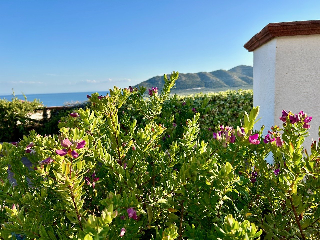
The view across the bay to Mount Saraceno from our final hotel

It was a great hotel and I was glad we’d booked an extra night here. We’d both walked a lot further than we had for a while, and though my ankle had held up the thought of putting on walking shoes again the next day wasn’t the most favourable thought I’d had, and so we opted for a rest day.

Exploring Mattinata

Our rest day plans were to walk into Mattinata and get supplies for our walk the following day. It was a simple and pretty dull 5 miler, but the town was full of little shops and bars, and we were able to buy food for a picnic or two most likely amusing the local population at the same time.

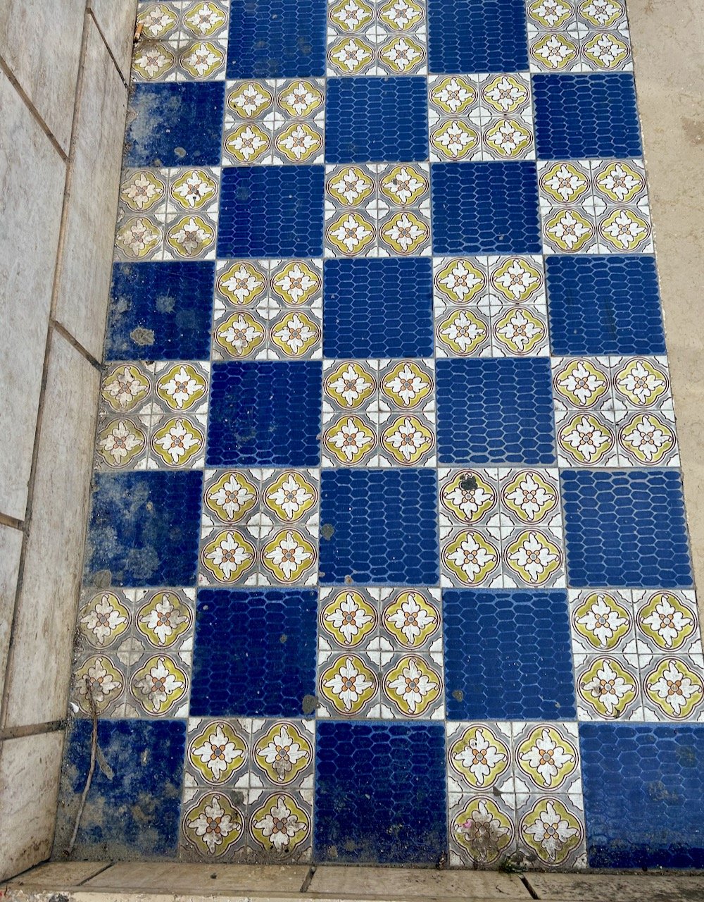
A chequerboard of patterned tiles

Across the bay and up Monte Saraceno

Feeling much better for a day not wearing our walking shoes our plan was to complete the final walk of the holiday, though we already knew a detour was on the cards as one of the paths was shut. The bonus for us was that it cut out walking across the pebble beach, and the double bonus for me was that it took a much less steep route up Monte Saraceno!

After being in the town and encountering cyclists and motorcyclists along the way reaching the top we were on our own again, and we weren’t quite sure how as there had been some other walkers dash past us on their way up. They hadn’t come past us on their way down, which we fully expected, so maybe they took another route down, who knows?

This was the only planned walk where we needed to backtrack and retrace our steps to get back onto the route of the walking notes, and that was because we’d assumed we were following one of the signs and had misinterpreted that, as we discovered when we got back there.

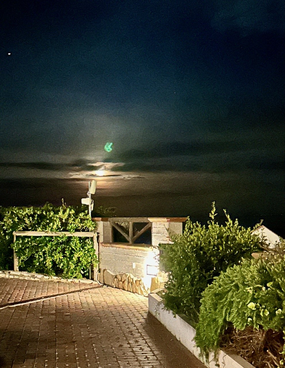
The night time view from our apartment's garden overlooking the sea

It was a great trip, the walks were good and the scenery and views were amazing. I’m not sure we expecting to tot up over 57 miles of walking though - even though we knew the km of each of the walks, I think there was a bit of denial going on! But as I said before, and as MOH said to me most days - it’s not a race, and we have all day to get there, which as it turns out was just perfect.

Walking East Stoke's lanes this April

Well this month we doubled our ventures out around the village’s lanes, which sounds grand but in reality it’s easy to double a single walk isn’t it? This month we headed out along our old favourite Moor Lane but also along Church Lane and down to the River Trent. I’m not even sure I can put this down to the weather entirely either, but maybe Easter at the start of the month was a contributing factor. It is sadly another month without a visit to the Red Gutter, but when we get there again I know it’ll be worth it.
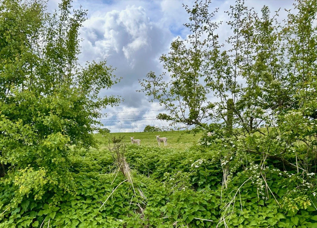
So let’s head out, shall we - let’s start by heading down to the river past the fabulous brick wall of East Stoke Hall and looking across to the new lambs, who also seemed intrigued by me, and were no doubt planning some high jinx if they’re anything like the ones closer to the main road and bus stop who regularly escape their field, for fun.

Ferns starting to unfurl their new growth - but growing out of a brick wall

CHURCH LANE

Looking up to two lambs in their field through a gap in the hedgerow

CHURCH LANE

It’s great to see the lambs in the fields around the village, and to hear them bleat throughout the day and usually as we go to bed too - it’s something I’ve never experienced before, and something I hope to never tire of either.

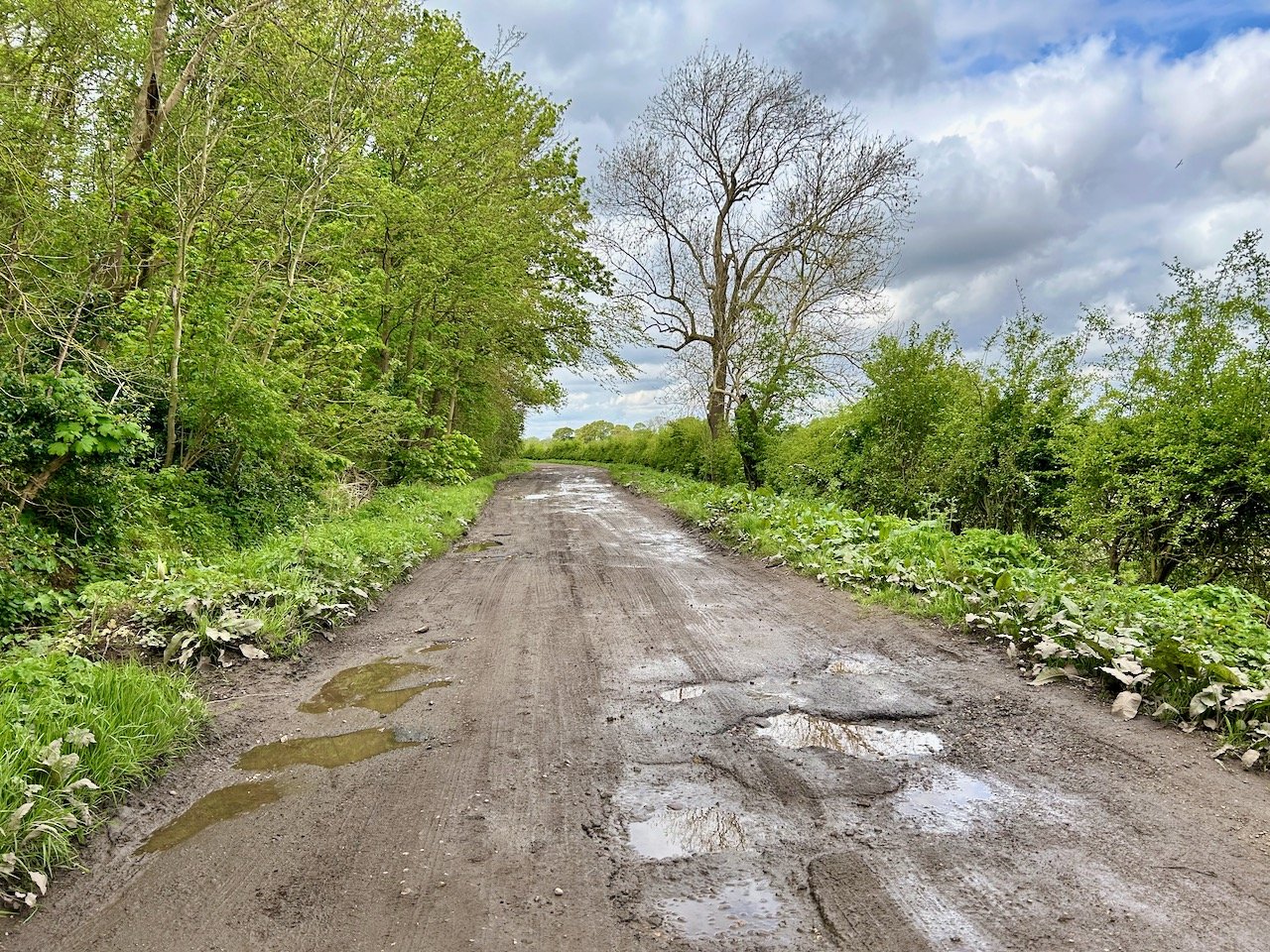
It had been raining before we set out down Church Lane and so we weren’t sure if we’d make it along to the Red Gutter or not (not a spoiler - we didn’t) but instead we headed down to the Trent as we were both keen to see just how wet, muddy and squelchy it was down there or how well it had recovered from the flooding.

looking down church lane with the trees and hedgerows in leaf and few muddy puddles ahead

CHURCH LANE

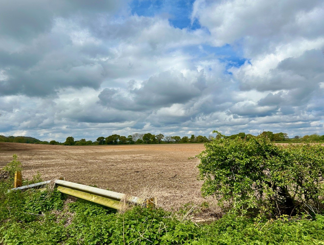
Looking across the field next to the Red Gutter path - with a cloudy sky above

CHURCH LANE

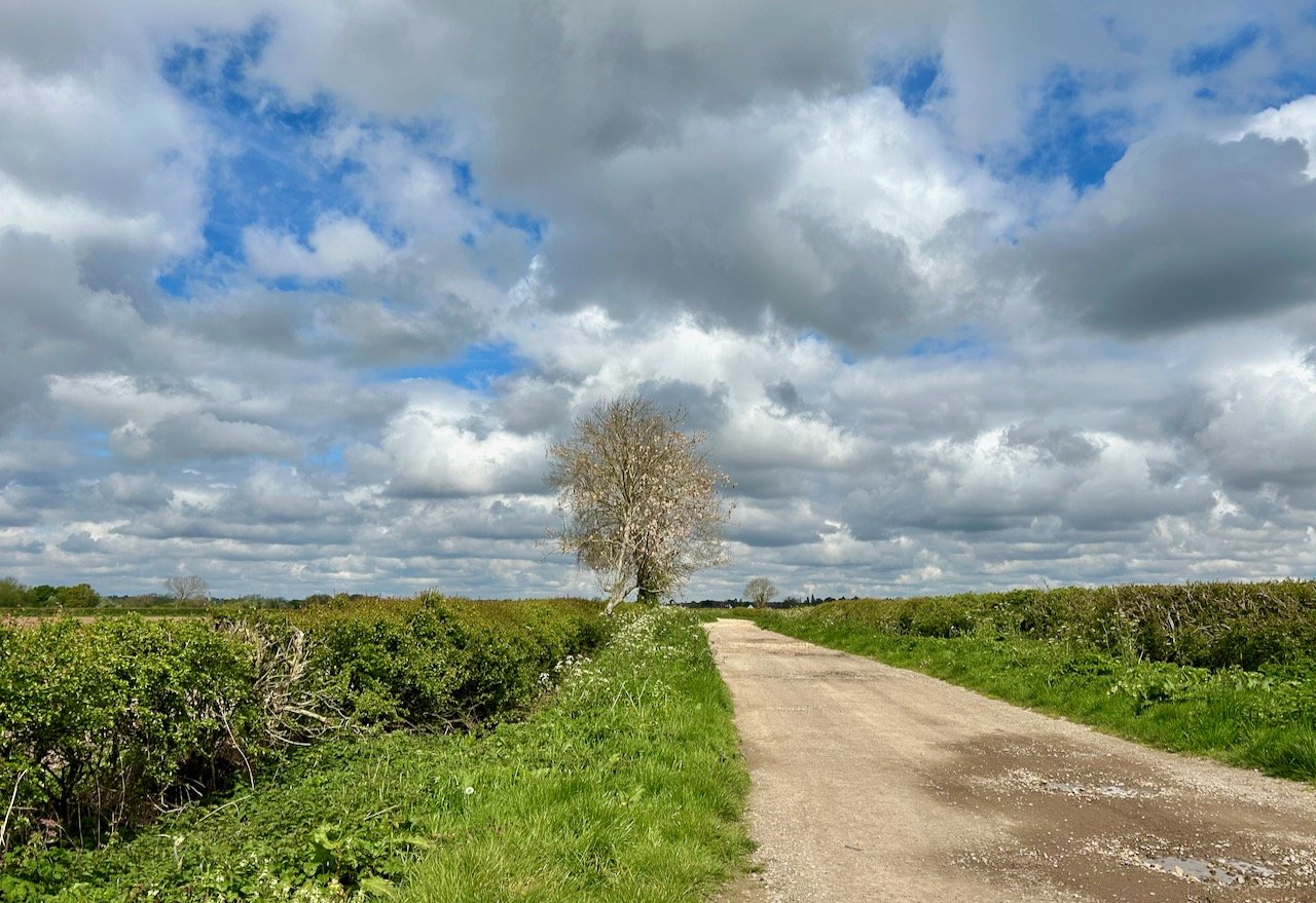
heading towards the trent - white clouds and blue sky above and a single tree in the centre of the picture

CHURCH LANE

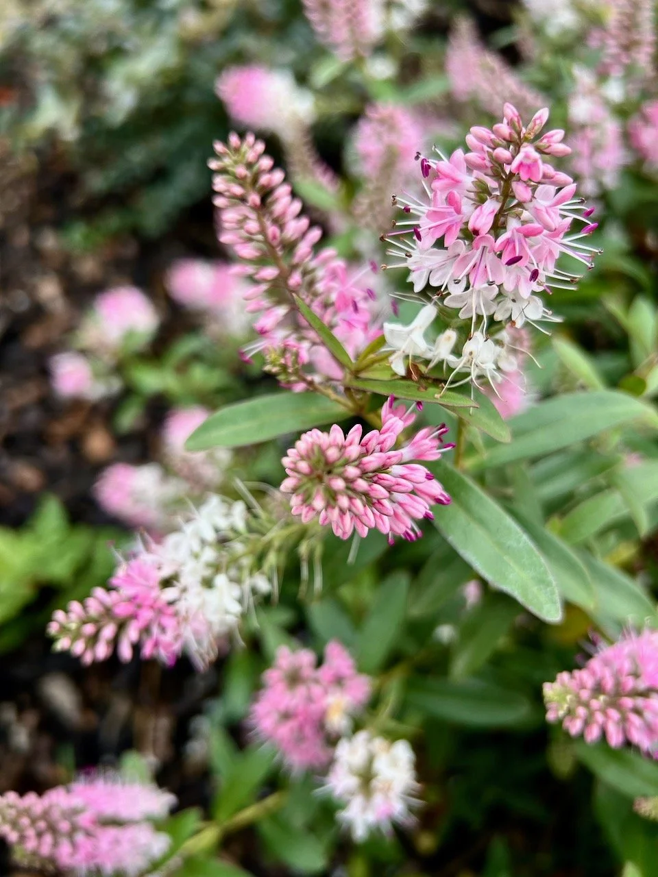
And along the way we enjoyed seeing the hedgerows and verges springing back to life, these pink and most likely weeds were a cheery sight.

CHURCH LANE

Almost reaching the river the grass has returned and is looking very lush - the pub on the opposite side of the river is just visible in the distance

AT THE END OF CHURCH LANE

Once we reached the end of the lane it was so good to see how the river path was recovering - the vegetation looked so lush, as you’d expect with the amount of water that had been there only a couple of months before.

lush green vegetation closer to the river's edge- which had previously been under water/flooded

ALONGSIDE THE RIVER TRENT

ALONGSIDE THE RIVER TRENT

I’m not sure we’ve spotted this little jetty before - I think since I started this series of posts at the start of the year we haven’t got anywhere close to the river’s true edge, so it was good to see things at more normal levels.

The views walking down towards the Trent are fantastic, but then once you get there and turn back, the views are even more spectacular - I’m sure that once the river path is drier and more walkable for this mud-adverse and less than hardy walker, these will be something I’ll miss, so I’ll need to remind myself to turn around and look back at where we came from.

CHURCH LANE

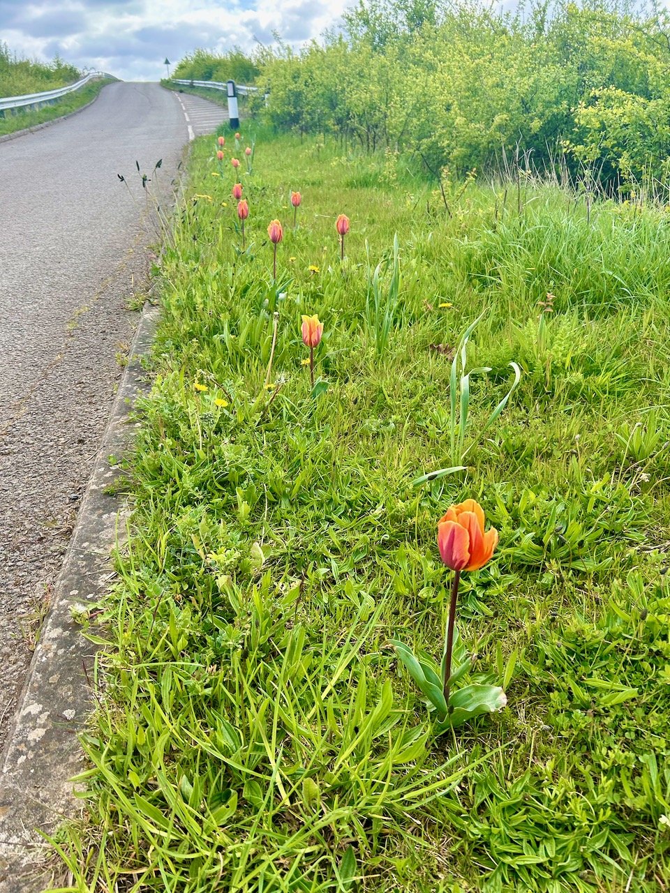
I did also walk to the bridge on Moor Lane this month - not the bridge over the A46 in this photo, the smaller one at the end of this series of photos! Last month I was pleased to see daffodils growing in the wild, well just imagine my joy when I spotted this row of almost flowering tulips growing in the verge.

MOOR LANE

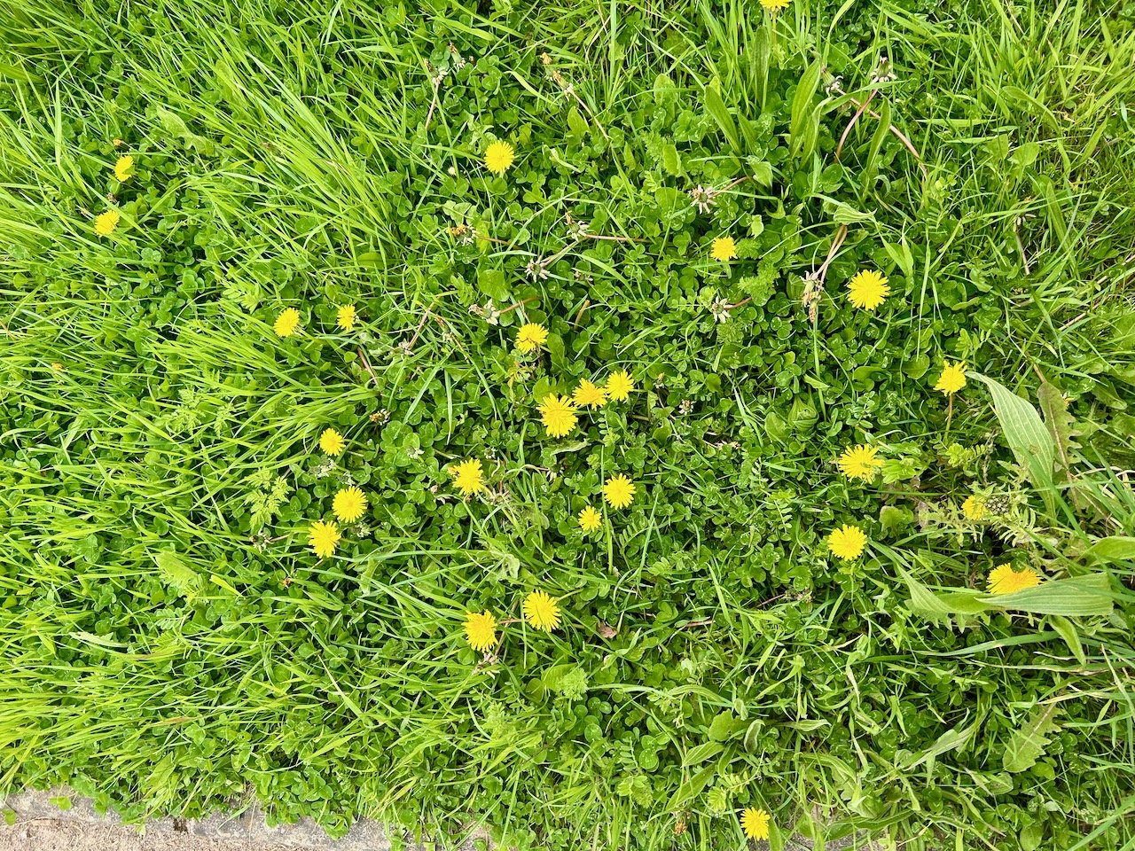
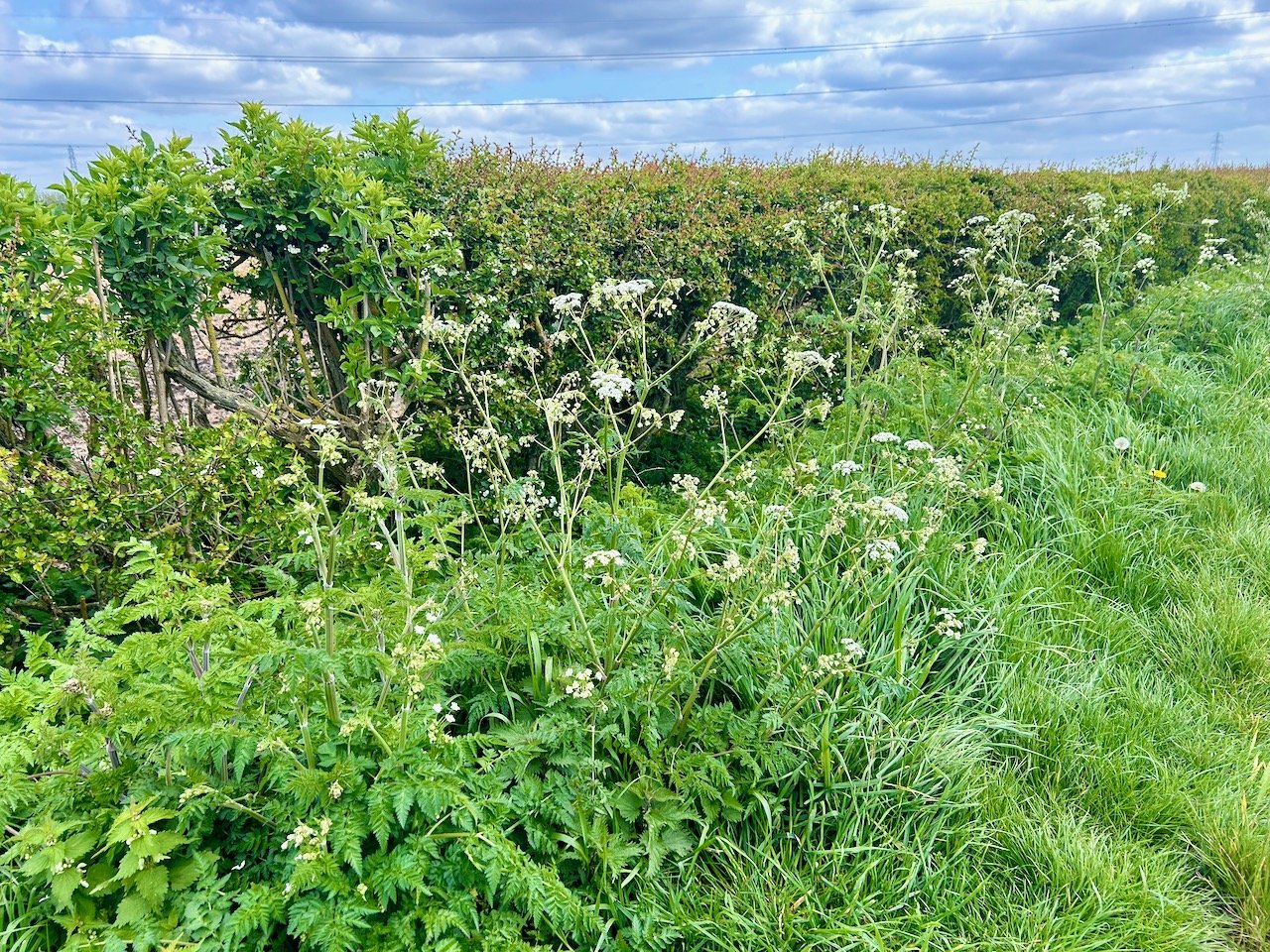
They were joined by plenty of flowering dandelions and the start of the cow parsley too.

MOOR LANE

MOOR LANE

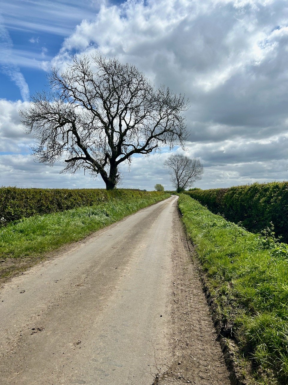
There was also plenty of new growth on the freshly laid hedging, which was good to see. There was still plenty of evidence of mud along the lane, and the tractor’s tyre tracks were a good example of how things are continuing to dry out, slowly.

MOOR LANE

MOOR LANE

MOOR LANE

I’ll end with two of my favourite views from Moor Lane - though I was surprised to see that the trees in the photo above were not yet in leaf, surely it can’t be long before they are?

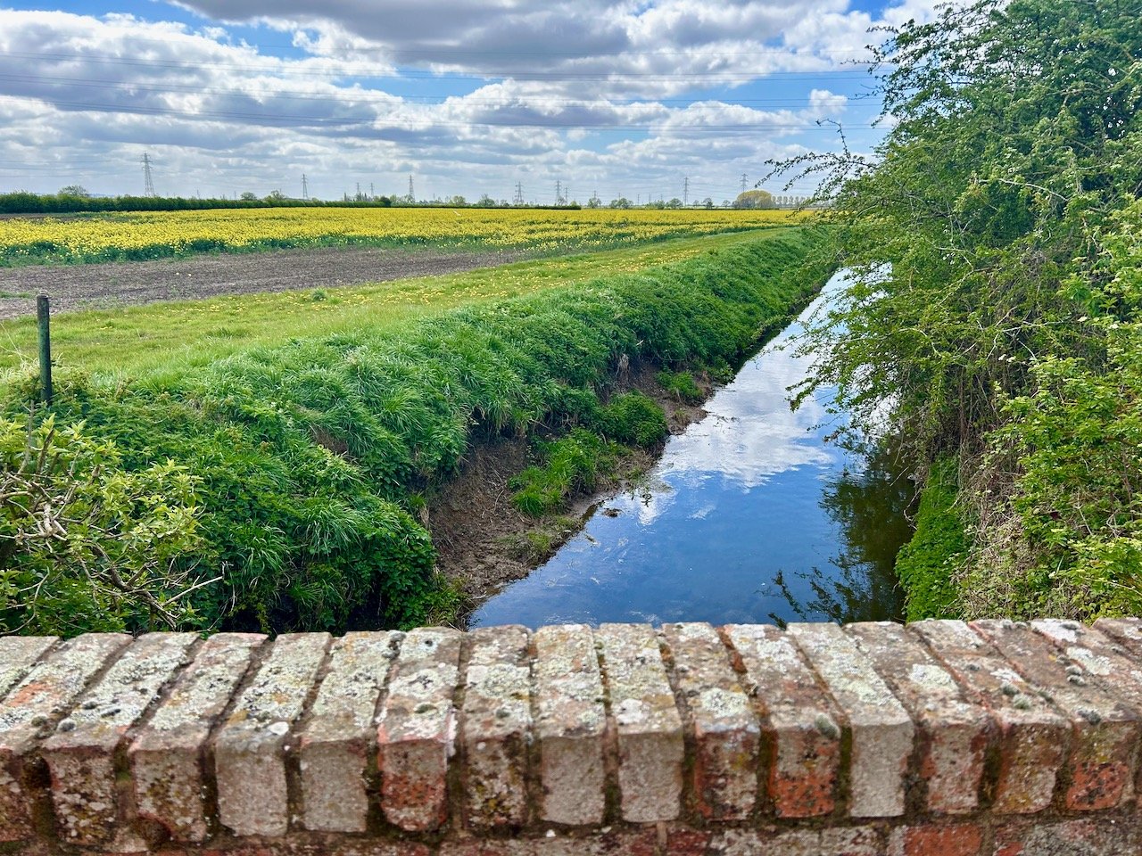
From the brick bridge in Moor Lane, looking at the stream with sky and clouds reflected in it and yellow crops in the field on the left

MOOR LANE

And the bridge - it’s a marker for our walks down this lane - but isn’t it good to see the sky and clouds reflected in the stream, and the yellow crop in the field on the left, it definitely feels more spring-like at last.

Thanks for joining me this month, I’ll be back to sharing the next instalment around the third week of the month, but in the meantime if you enjoyed this post you may also like some previous series where I revisit the same place - there’s my year in Greenwich Park and remember that time when I followed a tree?

A walk from Kinoulton to Hickling and back again

Feeling a bit of cabin fever we checked the weather forecast and planned a walk for the best predicted day for some fresh air, nature and a pub lunch. We opted to head away from our cluster of villages, and the lanes we usually walk and to explore somewhere different for a change.

MOH has been to Hickling with his cycle group, and we’ve visited the Old Wharf Tearooms there for lunch - though on one of those bitterly cold days, but the food was good and the setting will be much improved by some warmth, so we hope to head back there over the summer.

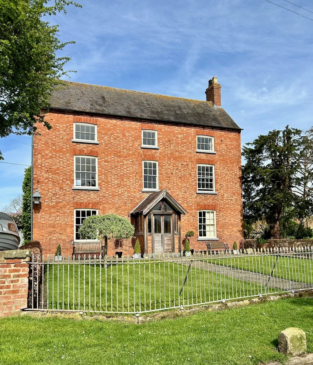
The walk started in Kinoulton (and I’ve shared the route map from Strava further on) and we parked in the street close to The Nevile Arms which I’d seen on Facebook, and where we planned to stop for lunch after the walk. Getting our bearings we were off, walking out of the village towards fields and past this gorgeous looking property.

A grand looking house at the start of our walk in Kinoulton

It wasn’t long before we were picking our way across fields, which while mostly dry were at points still a bit moist. I may have been over-optimistic with my choice of footwear, opting for walking sandals rather than boots, but my feet were aching for some fresh air too. It was mostly ok apart from one place where I did get a little muddy, even after choosing what I thought was the best route - but I’m not sure there really was a good route. I didn’t mind getting muddy, even though I don’t like walking in mud - it’s the slipping and sliding that I really detest, and which really slows me down. I also knew that I had clean shoes and socks in the car, as there’s no way I could be driving in any kind of walking footwear.

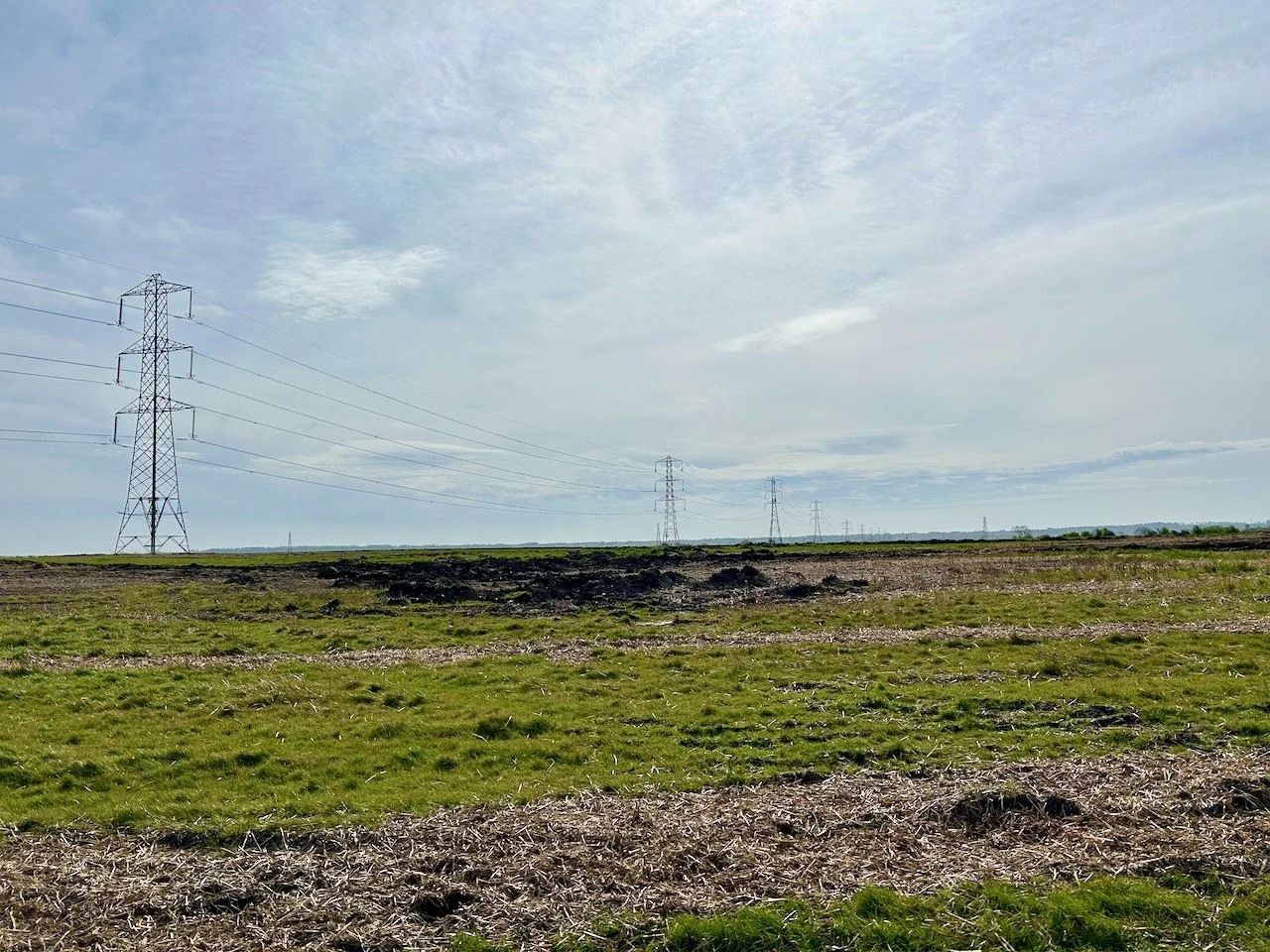
a field with pylons in the foreground stretching into the distance
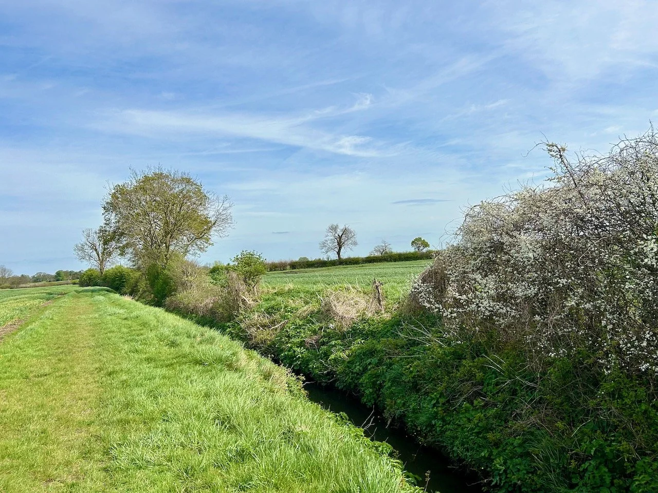
Walking along a grass path with hedgerows to our right and soft blue skies above

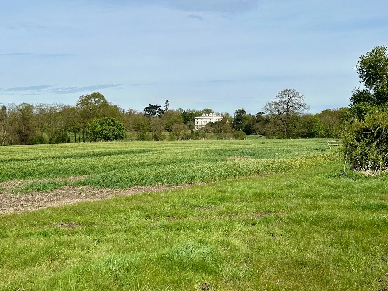
It was good to be out in the countryside and amongst nature, the weather was actually a bonus. The route was teasing us with glimpses of this even grander house in the distance - we never actually reached it, but it was great to see it coming more into view.

An even grander looking house in the distance nestled amongst trees
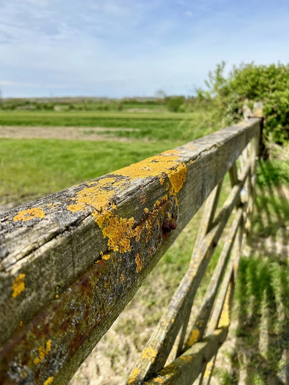
lichen on a wooden gate with the green field in the background

At the gate we doubled back on ourselves and headed around the fields trying to keep ourselves on the right path while avoiding walking directly across the fields, which was where the path on the map looked to be but in reality it was hard to spot.

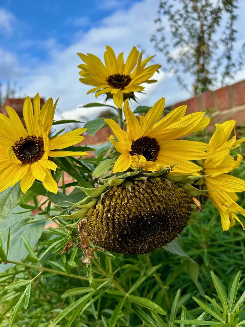
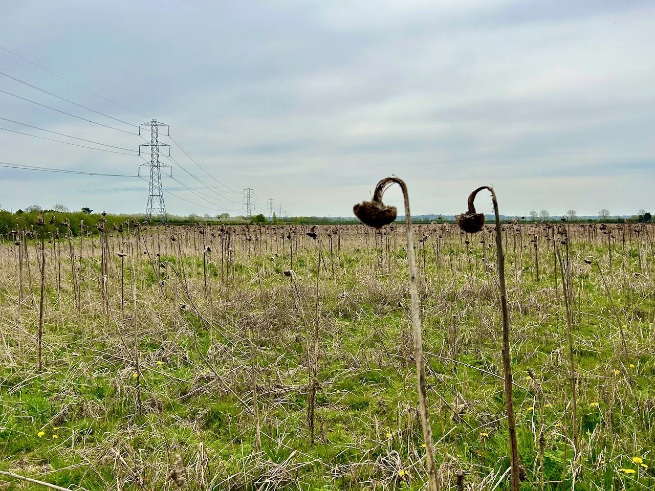
Years ago we went walking in France on a walk that took in many sunflowers, these rather sad and spent looking sunflowers reminded us both of that trip and made us wonder what we’ll encounter on our upcoming walking trip to Italy.

spent sunflower heads on the edge of one field, with the pylons still stretching into the distance
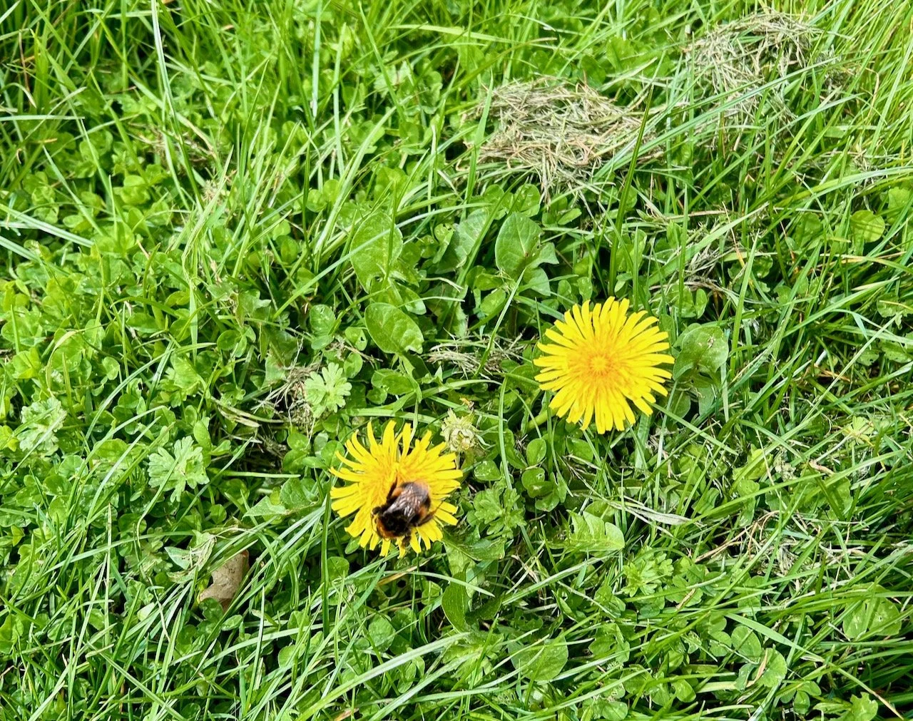
A bee taking a rest and refuelling on a dandelion flower

Before heading back to the road for a short stint I spotted this bee taking a break and refuelling - and it underlines the need to keep some dandelion flowers early in spring for just this.

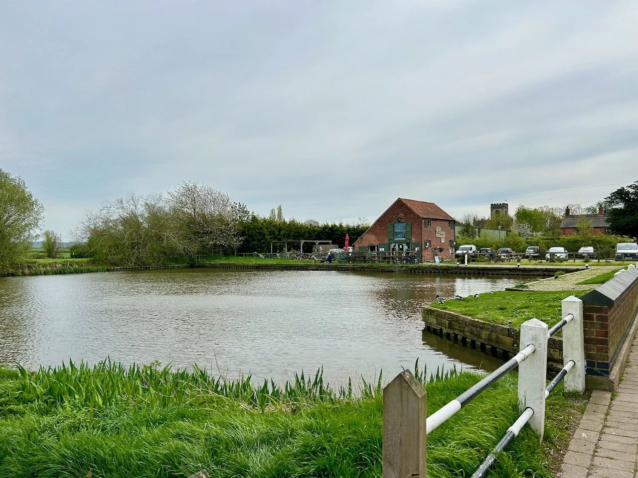
We arrived at Hickling Basin and well it was a bit greyer than when we’d started out, but just imagine this view on a sunnier day - though I think you’d need to imagine a lot more people there too!

Arriving at Hickling Basin, looking across to the Old Mill cafe
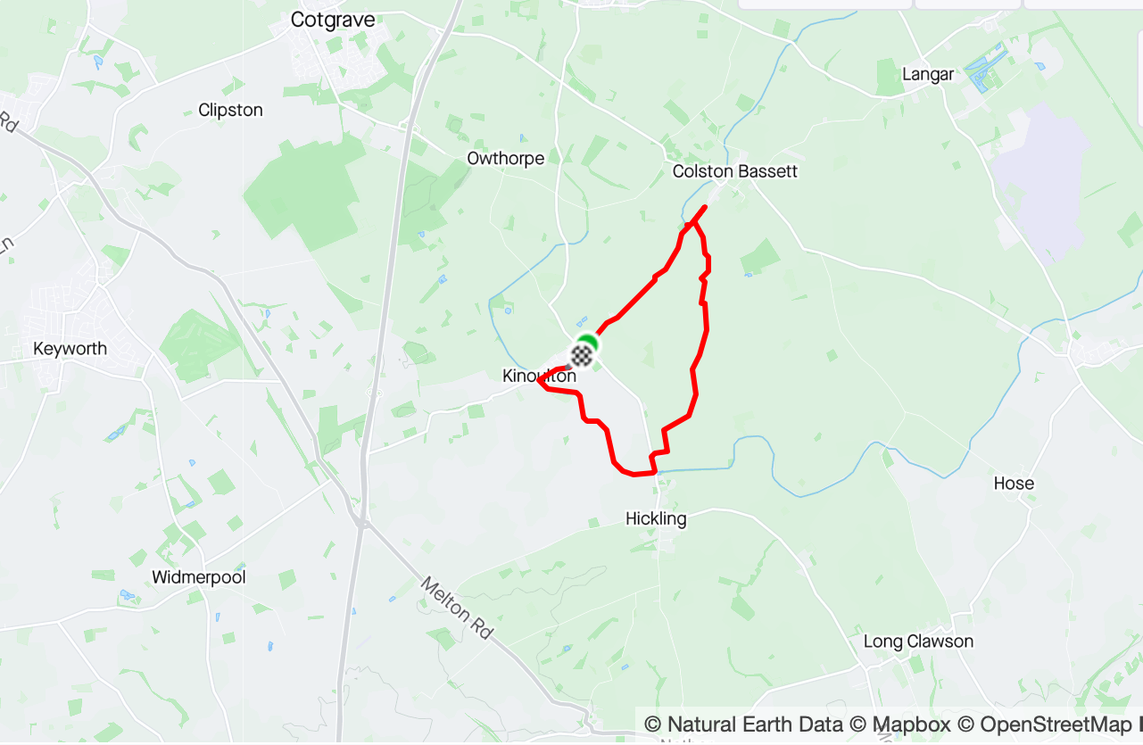
The map of the route from our walk taken from Strava

At this point we’re halfway through the walk - by destination, if not in miles - and so I’m sharing the Strava map at this point rather than at the end, we walked in clockwise direction heading toward Colston Bassett (and the big white house). Both Colston Bassett and Long Clawson produce good local cheeses - which we’ve tasted and agree with! Cotgrave, which we’ve not visited, is a former mining town whose colliery finally closed in the early 1990s, but like other Nottinghamshire mines continued to operate during the miner’s strike in the mid 1980s.

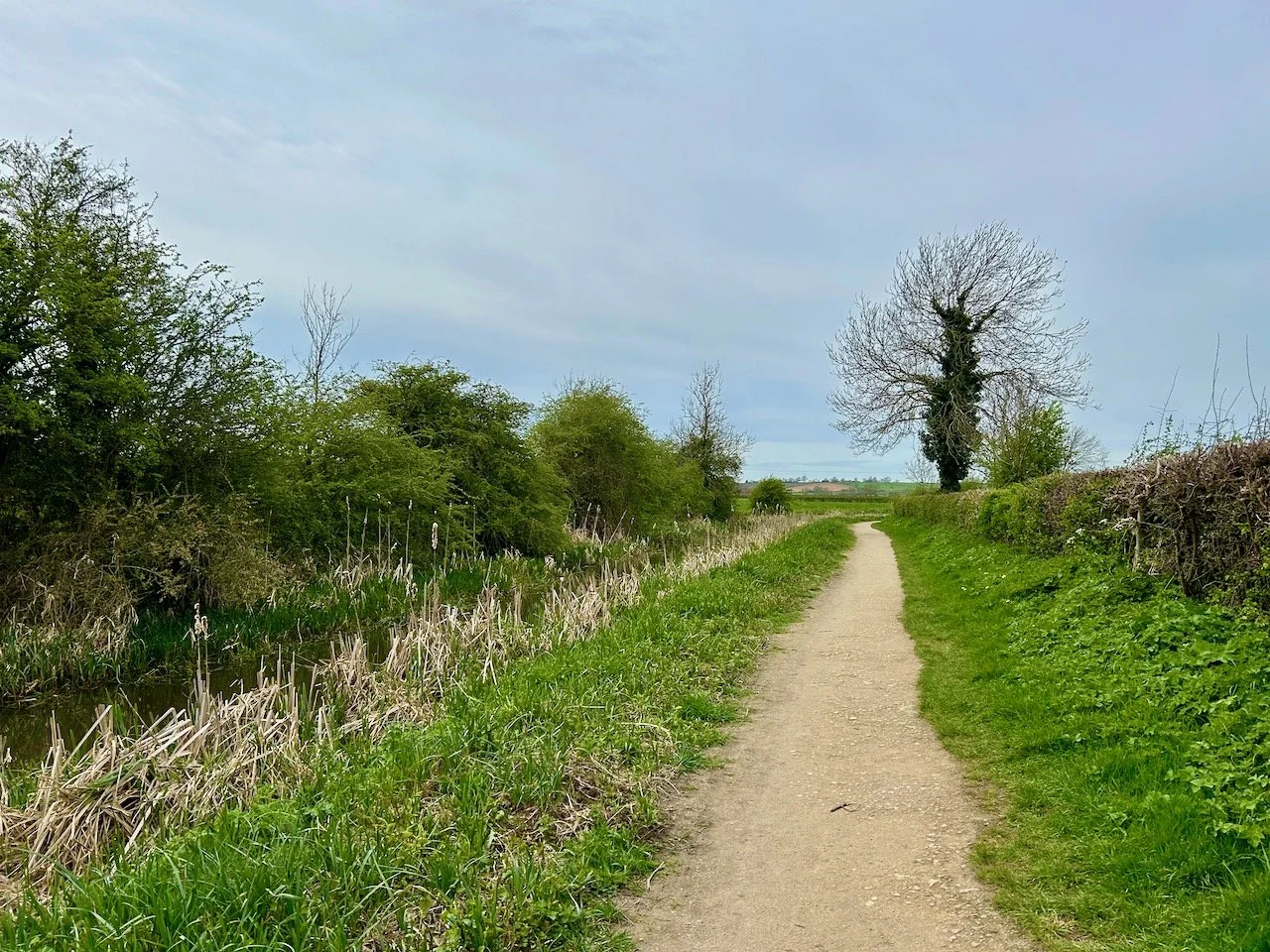
The next leg of the route back to Kinoulton, the car and lunch took us along the Grantham Canal path, so different scenery completely - but also the chances of more mud encounters severely reduced.

Leaving Hickling on the canal path with the canal to our left
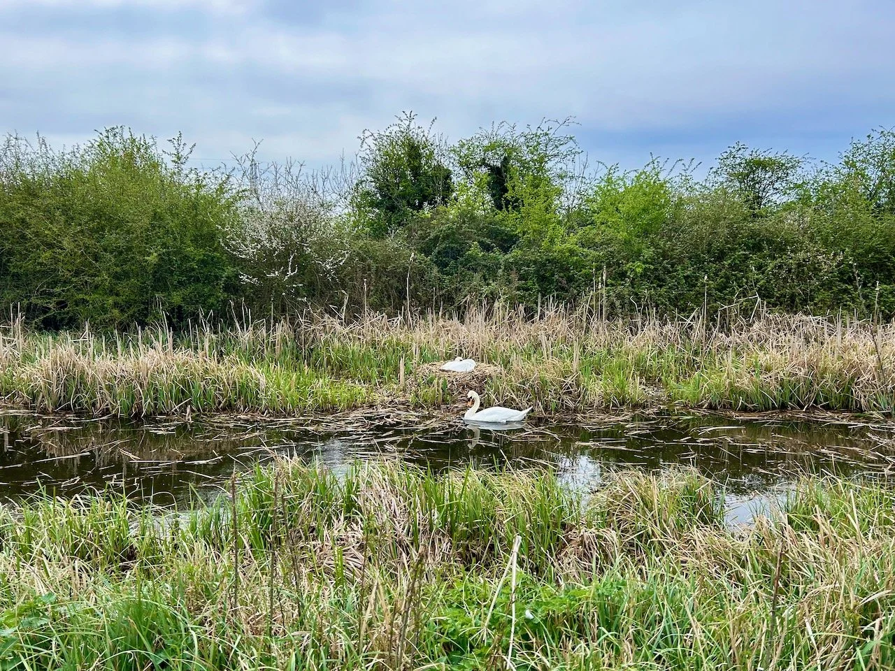
Two swans and their nest on the canal

What we did see though was a pair of swans building and tending their nest. One swan was pulling reeds through the water and adding them to the already well established nest, while the other stayed with the nest. With swans eggs hatching between May and July, it’s possible that there were already eggs in the nest.

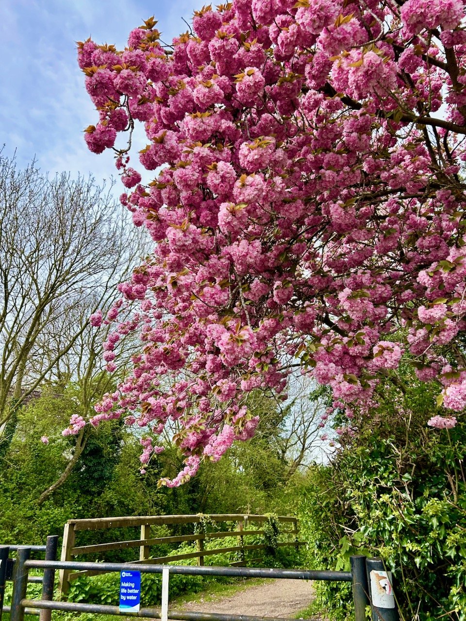
It was great to watch - and a complete time waster - but we dragged ourselves away and continued along the towpath. Our reward as we left the path was this fabulous tree in blossom.

A huge cherry tree in blossom at the end of the canal path

What a joy!

And such an enjoyable walk too. Now to find the car - though I’d managed to park just further down the same road without knowing, isn’t it great when things work out! A shoe change and we were set for lunch in the local pub, The Nevile Arms - who do a special lunch menu, alongside their usual menu. Our fish and chips were good, and it’s somewhere we’ll add to our ‘places to stop and eat list’ along with the Old Wharf cafe which was already included.